
PEND OREILLE RIVER in Pend Oreille County, Washington
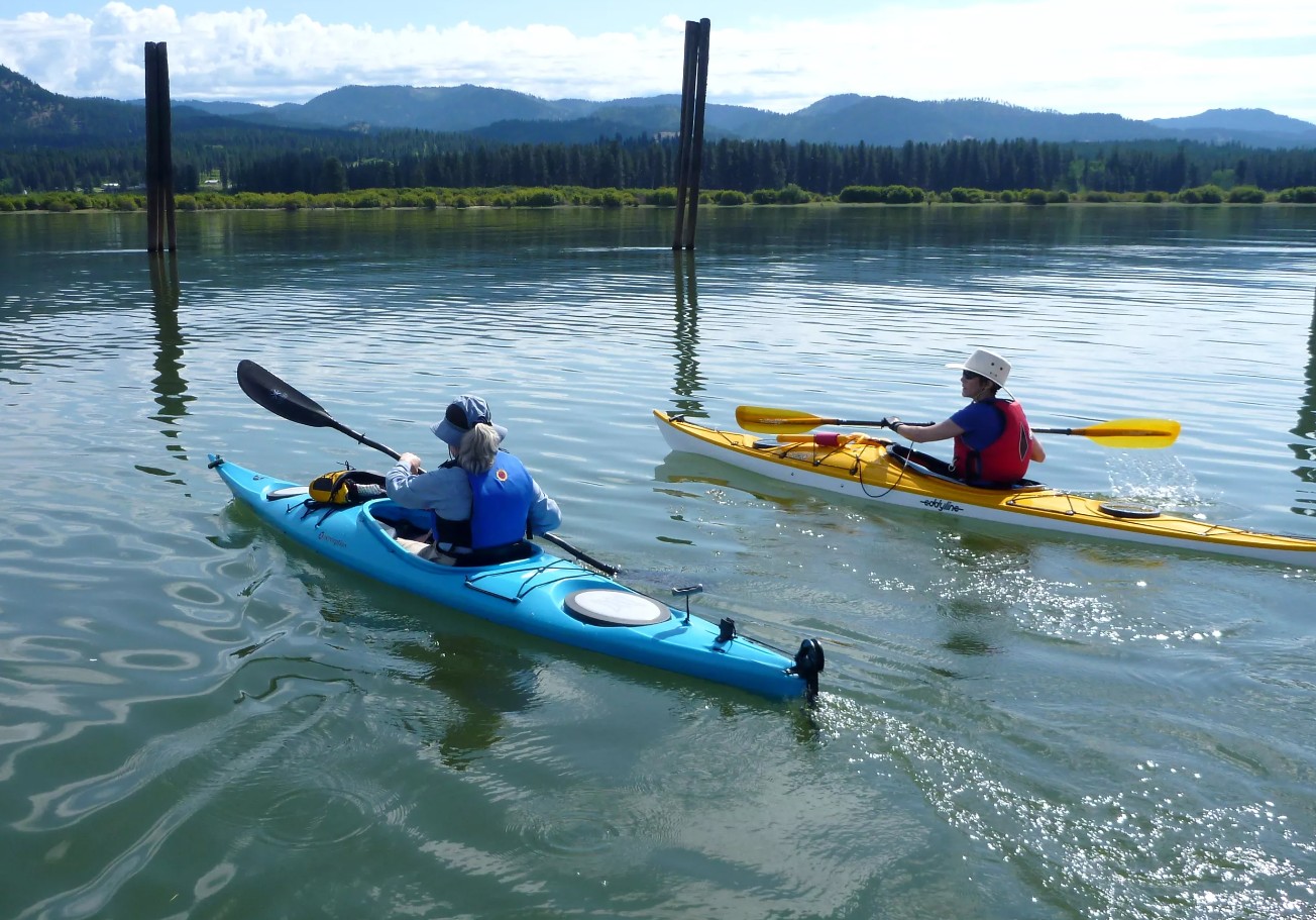
This river extends from the Lake Pend Oreille all the way to the Columbia River in Canada. The information here covers the river from Albani Falls Dam in Idaho to --- Dam just south of the USA/Canada border, Washington Border. Sections of the river from below Albeni Falls Dam to Lake Pend Oreille go from reservoir/lake like conditions in the summer and to a river rapid like conditions on other parts of the river. During spring runoff to wet times of the year the river is fast moving. Safest time of the year to paddle/boat the river is summer and during the dry times of the fall. In late September they start to draw Lake Pend Oreille down so the flow on the river increases significantly. Fishing is a very popular activity on this river. There are 00 boat launches on the river; 00 are county owned and 00 is owned by resorts (see details below). Fishing: Large and Smallmouth Bass, limit of 6; two may be Largemouth Bass. No Largemouth Bass under 16 inches. Contact either state fishing and game for fishing size and catch limits, etc. Directions: To access the river from WA or Idaho one will use HWY 2. Also, from Idaho there is HWY 41. Maps: View interactive Google Map below...Visit these sites for the following...
Pend Oreille River water trail information... Pend Oreille County Parks & Recreation; Pend Oreille River Tourism Alliance; Pend Oreille River Regions information
Pictures and info about boat launches, access points, etc. below map! ATTENTION! WILL ADD WASHINGTO ACCESS INFO SUMMER 2023.
Nice video about the river, but pretty old. We will add an updated video in 2023.
Pend Oreille River in Washington Access and Boat Launches

This launch is actually in Idaho, but right on the border.
7. Old Town / Rotary Club Boat Launch - Paved launch, dock, restrooms, running water, covered pavilion, paved bike trail, large parking lot. Directions: On the east side of the river next to the bridge between Old Town Idaho and Newport WA. This launch has a restroom and fishing dock. Maps: View interactive google map above or visit google.com/maps type in Old Town, Bonner County, ID. or GPS coordinates 48.185472, -117.032146ATTENTION! We will be adding all the access points and launched on the Pend Oreille River from Newport WA/ID to the border in 2023 aboard my Hobie Mirage Tandem Island. Will also include videos. Want to join us or need info currently please comment below.
No comments:
Post a Comment